Related Questions
Q11: Maps are secondary data sources when<br>A)they are
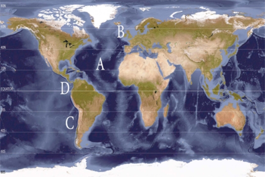
Q44: What location best represents a trough of
Q52: The El Nino begins to weaken and
Q60: Which wind belt is located at letter
Q65: Find the stationary front located in northwestern
Q70: On the accompanying map, earthquakes are least
Q76: Which location(s)have loose, angular rocks? <img src="https://d2lvgg3v3hfg70.cloudfront.net/TB5490/.jpg"
Q89: The stages associated with continental rifting are,
Q96: The safest place for humans to live,
Q174: What is the tectonic setting of the